Samoa Dunes Recreation Area
- Address: Bureau of Land Management, Managed by BLM
- South Bay, CA 95503
- Phone: (707) 825-2300
- Visit Website
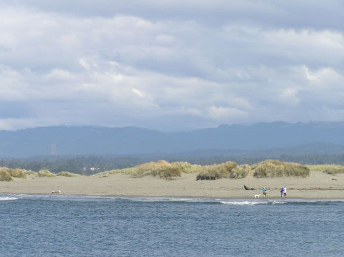
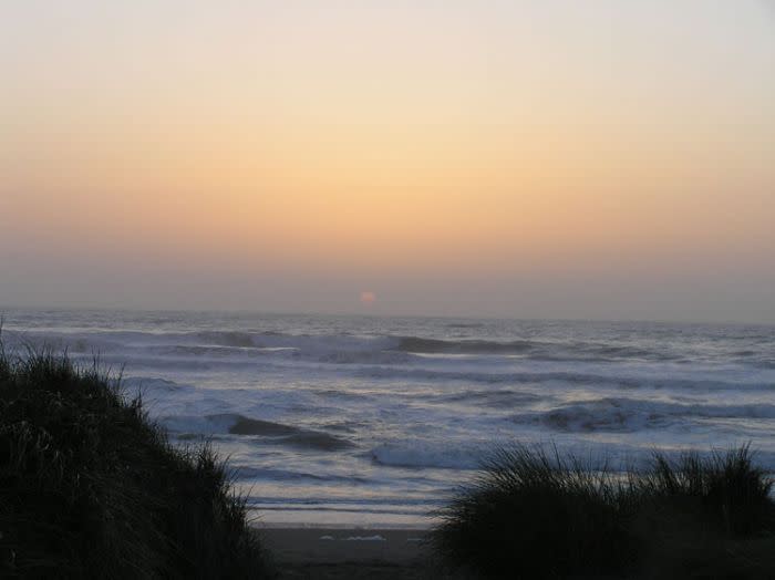
Just west of Eureka, a sandy strip of land extends between Humboldt Bay and the Pacific Ocean.
The Samoa Dunes Recreation Area, once a seasonal food-gathering site for the Wiyote Indians and later, during World War II, a Coast Guard surveillance outpost, is now a multi-recreational park that attracts not only Off-Highway Vehicle (OHV) enthusiasts, but also hikers, surfers, beachcombers and fishing enthusiasts from throughout the region.
Activities: Hiking, beachcombing, fishing, bird watching, surfing, OVH use in specified area, boating - Adjacent to the Samoa boat ramp.
Dunes: Several stages of dune formations may be seen in the Samoa Dunes Recreation Area.
Birds: Look out beyond the ocean waves for brown pelicans and Brandt's cormorants. Northern harriers can often be seen as they glide in and out of willow thickets in the small freshwater wetlands. The willow thickets are home to song sparrows and savannah sparrows. The wetlands attract great blue herons and ducks.
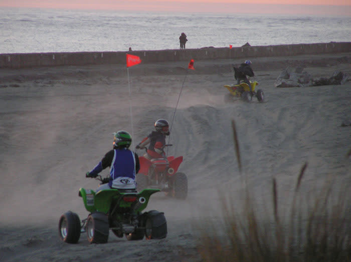
OHV: Facilities include an unloading ramp, restroom, tables, cooking grills and a scenic overlook, easy access to 140 acres of "open" terrain, containing numerous trails and the beach strand. And an additional new 75-acre riding area that extends about 1 mile north of the park. The rest of the beach and dunes along the peninsula are closed to vehicle use, except by special permit from the county.
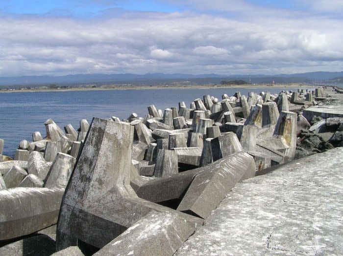
Nearby: Samoa Boat Ramp and RV campsite Samoa Cookhouse - As the last surviving cookhouse of the west, all meals are still served "lumber camp" style Humboldt Bay Maritime Museum The dolos look like giant toy jacks standing 15' high, weigh over 43 tons and have over 1300 pounds of steel imbedded in the concrete. NOTE* (Only approach the jetty at low tide. If water is spraying over the top of the jetty, it is too dangerous to be in the area!) Directions: From U.S. Hwy 101 at Eureka, take Hwy 255 across the Samoa Bridge. Turn south (left) onto New Navy Base Road. Drive about four miles to parking area. From Arcata, take Samoa Blvd. west then south until it intersects with the Samoa Bridge, then follow above directions.

